Created by Editorial Alpina, a benchmark in mountain cartography and publishing for over seventy years, it combines precision, design, and a deep love for nature.
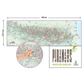
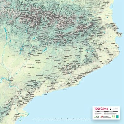
The Scratch Map of the Pyrenees is more than just a map: it’s an interactive experience for those who love the mountains. If you enjoy climbing peaks, hiking through valleys, and discovering breathtaking landscapes, this map helps you track your progress and stay motivated to explore.
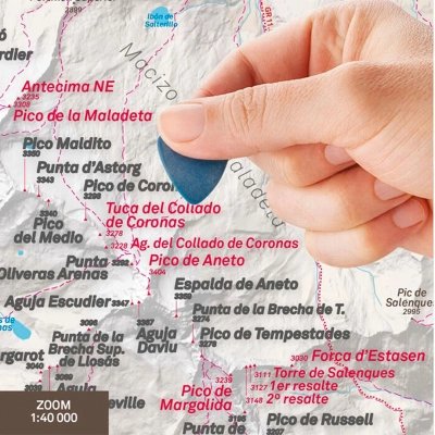
Scratch, reveal, and celebrate your summits
Each time you complete a new ascent or trail, simply scratch with a coin the corresponding place name. The black layer will disappear to reveal a vivid magenta color, creating a unique and personal visual record of your Pyrenean adventures.
A creative and emotional way to remember your routes and plan new ones, perfect for decorating your home, mountain refuge, or hiking club.
Quality and cartographic precision
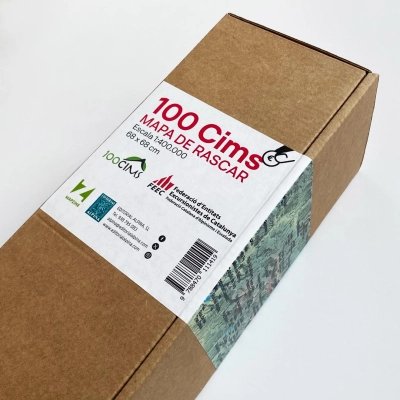
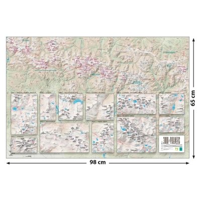
With a 1:450,000 scale, this detailed map clearly shows peaks, valleys, lakes, and villages across the Pyrenees. Its panoramic poster format (98 × 33.5 cm) makes it both practical and aesthetically pleasing to display.
A product by Editorial Alpina
For over seventy years, Editorial Alpina has been a leading name in mountain cartography and outdoor publishing. Their meticulous work reflects their commitment to culture, territory, and the mountain spirit.
The perfect gift
The Scratch Map of the Pyrenees makes a unique and thoughtful gift for nature lovers, hikers, and mountaineers. Celebrate your achievements and share your passion for the Pyrenees.
Technical details:
-
Publisher: Editorial Alpina, SL
-
Publication date: April 30, 2025
-
Edition: No. 1
-
Language: Catalan
-
Format: Poster (98 × 33.5 cm)
-
Scale: 1:450,000
-
Weight: 10 g
-
ISBN: 978-8470111716
-
Recommended age: 14+


Leave a review